
Topographic Survey in Saudi Arabia
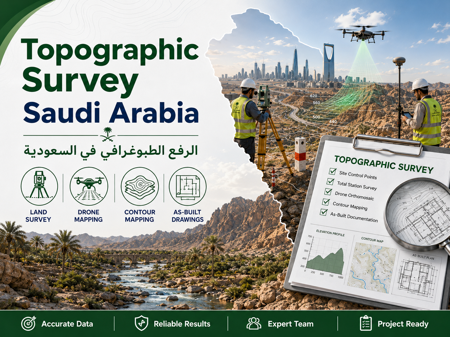
A topographic survey maps site levels, contours, visible features, roads, buildings, drainage, utilities, boundaries, and surrounding conditions.
What Is a Topographic Survey?
A topographic survey maps site levels, contours, visible features, roads, buildings, drainage, utilities, boundaries, and surrounding conditions.
When Do Projects Need a Land Survey?
Projects need land survey before design, site development, excavation, utility coordination, construction staking, progress review, and final handover.
Topographic Survey Deliverables
Deliverables can include CAD drawings, contour plans, control points, coordinate files, digital terrain models, GIS layers, and survey reports.
As-Built Drawings for Construction Handover
As-built drawings document the final constructed condition for consultant review, owner records, maintenance, and future expansion.
Drone Survey and Aerial Mapping
Drone survey supports large sites, progress tracking, stockpile review, corridor mapping, orthomosaic images, and terrain modeling.
3D Laser Scanning and Point Cloud Data
Laser scanning creates dense point cloud data for BIM, clash review, renovation planning, dimensional verification, and existing condition records.
Utility Mapping and Underground Services
Utility mapping helps identify visible and buried services before excavation or design coordination, reducing damage and construction risk.
Why Choose EnmaTech for Survey Services in Riyadh?
EnmaTech provides topographic survey, land survey, as-built drawings, drone mapping, 3D laser scanning, and utility mapping in Riyadh and Saudi Arabia.
FAQ
What is included in a topographic survey?
Levels, contours, visible features, boundaries, roads, drainage, utilities, control points, and CAD deliverables may be included.
Are as-built drawings required for handover?
Many projects require as-built drawings to document final constructed conditions.
Can drone survey replace ground survey?
Drone survey is useful, but ground control and verification are often needed for engineering accuracy.