
Enmatech's Topographic & Land Survey, As-Built Drawings, and Mobile Mapping services deliver precise data for construction and development. Using advanced technology, we ensure accuracy for residential, commercial, and industrial projects.
Key Services
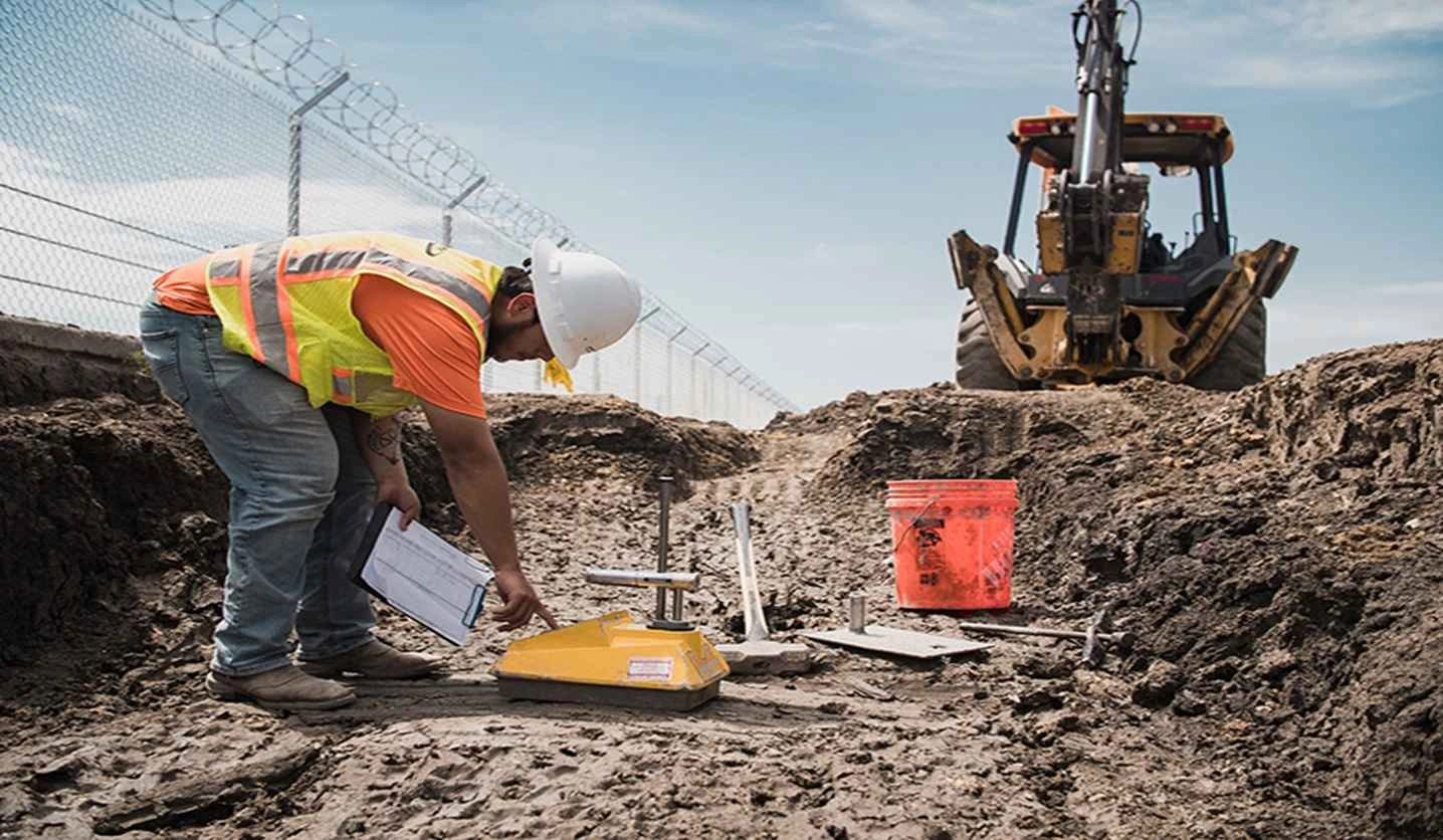
Topographic Surveys
Terrain and site feature mapping using total stations, GPS, GNSS, and RTK workflows.
Land Surveys
Boundary, development, and construction survey data for planning and documentation.
Geodetic Control
Precise control points and reference networks for accurate project coordination.
As-Built Drawings
Final construction records for facility management, handover, and future expansion.
3D Laser Scanning
High-density data capture for 3D models, BIM support, and existing condition analysis.
Utility & Drone Mapping
Utility location, aerial data, large-site capture, and mobile mapping deliverables.
Land Survey Company in Riyadh
EnmaTech supports developers, consultants, contractors, and public-sector teams as a land survey company in Riyadh for site planning, construction control, boundary coordination, infrastructure layouts, and engineering documentation across Saudi Arabia.
Topographic Survey for Construction Projects
Our topographic survey services capture site levels, contours, existing structures, roads, drainage features, utilities, boundaries, and visible site conditions. These outputs help design teams prepare accurate layouts, reduce site conflicts, and plan construction work with reliable survey data.
As-Built Drawings for Project Handover
As-built drawings document the final constructed condition of buildings, infrastructure, utilities, and site works. EnmaTech prepares handover-ready drawings that support facility management, consultant review, maintenance planning, and future expansion decisions.
Drone Survey and Aerial Mapping
Drone survey and aerial mapping help capture large sites, corridors, stockpiles, construction progress, terrain models, and orthomosaic imagery efficiently. Aerial data can support planning, progress reporting, quantity review, and GIS-ready mapping workflows.
3D Laser Scanning and Point Cloud Survey
3D laser scanning and point cloud survey services provide high-density spatial data for existing buildings, industrial facilities, infrastructure assets, and complex sites. Point clouds can support BIM modeling, clash review, renovation planning, dimensional verification, and existing condition records.
Utility Mapping and Underground Services Detection
Utility mapping and underground services detection help project teams identify visible and buried services before excavation, design coordination, or construction. Deliverables can include mapped utility routes, service locations, survey drawings, and field verification notes.
Survey Deliverables for Consultants and Contractors
Survey deliverables can include topographic plans, control point lists, CAD drawings, as-built drawings, point cloud files, orthomosaics, digital terrain models, GIS-ready layers, utility maps, and survey reports prepared for consultants, contractors, owners, and project handover teams.
More About Engineering Services

Testing and Commissioning