
Earth Observation Solutions in Saudi Arabia: Remote Sensing, UAV and GIS Guide
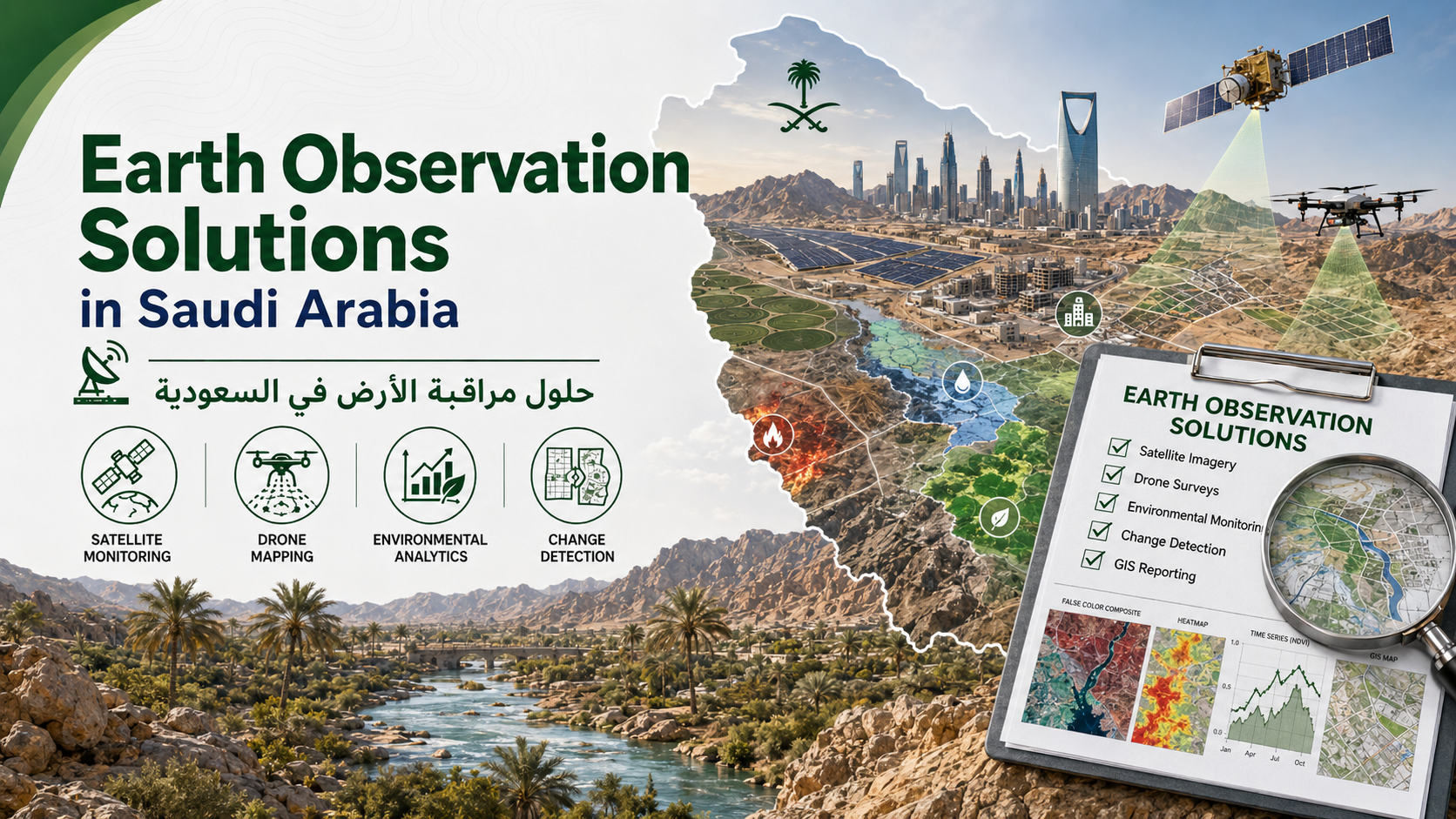
Earth Observation Solutions in Saudi Arabia: Remote Sensing, UAV and GIS Guide by EnmaTech with practical guidance for Earth Observation, remote sensing, UAV data and GIS mapping in Saudi Arabia.
What Are Earth Observation Solutions?
Earth Observation Solutions use satellite imagery, UAV data, remote sensing and GIS mapping to monitor change, map risks and create decision-ready geospatial outputs.
Remote Sensing Services Saudi Arabia
Remote sensing services in Saudi Arabia help government entities, developers, environmental consultants and operators understand environmental and infrastructure conditions over large areas.
Satellite Imagery, UAV and GIS Mapping
Combining satellite imagery, UAV mapping and GIS analytics creates stronger maps, monitoring reports, dashboards and technical outputs.
How EnmaTech Supports Earth Observation Projects
EnmaTech supports flood risk mapping, oil spill detection, urban heat monitoring, land subsidence monitoring, vegetation analysis, Ground Penetrating Radar Services Saudi Arabia and environmental monitoring workflows.
FAQ
How can EnmaTech help?
EnmaTech supports project teams with remote sensing, GIS mapping, satellite imagery, UAV data and practical reporting.